Contents
1.Basic Information
Nikko is renowned for its stunning nature and historical buildings, making it one of Japan’s most popular tourist destinations. The most famous attractions include Kegon Falls and the World Heritage Site “Nikko Toshogu Shrine.”
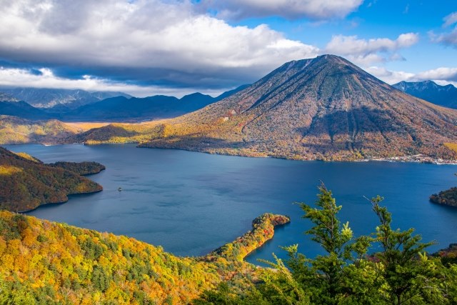
Lake Chuzenji and Mount Nantai
Mount Nantai, standing at 2,486 meters, is a prominent mountain in Nikko and a subject of religious reverence. At the foot of the mountain lies Lake Chuzenji, which was formed about 20,000 years ago due to a volcanic eruption from Mount Nantai. Visitors can enjoy the natural beauty of the lake with seasonal boat rides. The azaleas in early summer and the autumn foliage are particularly striking.
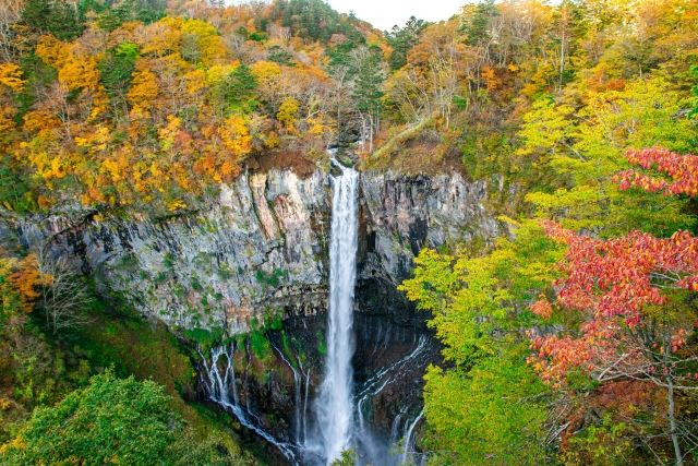
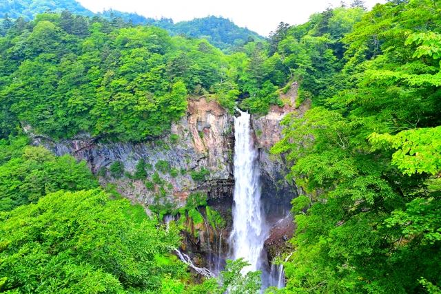
Kegon Falls
This waterfall has a drop of 97 meters and originates from Lake Chuzenji. It’s one of the most famous waterfalls in Japan, along with Nachi Falls and Fukuroda Falls. The waterfall’s flow varies, from as much as 55 tons per second to less than 0.3 tons at times.
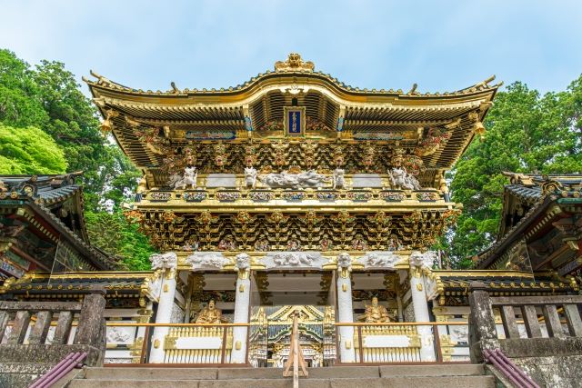
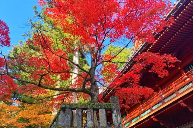
Nikko Toshogu Shrine
The Nikko Toshogu Shrine is dedicated to the first Shogun of Japan, Tokugawa Ieyasu. Ieyasu was responsible for ending the Sengoku era and laying the foundations for the peaceful Edo period. The shrine was significantly rebuilt by the third Shogun, Tokugawa Iemitsu. It’s registered as a World Heritage Site along with Rinnouji Temple and Futarasan Shrine.
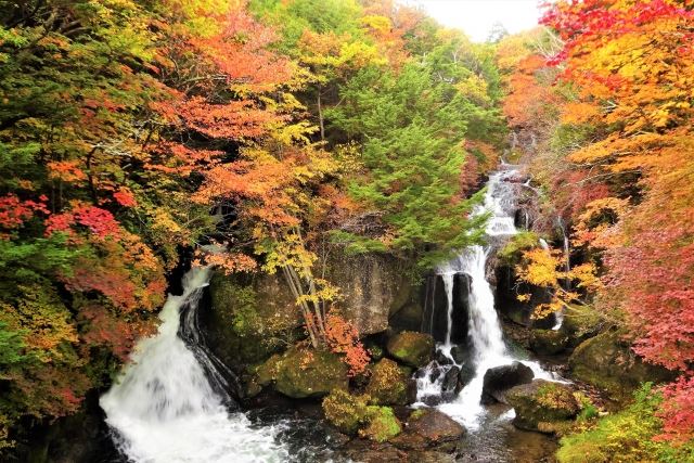
Ryuzu Falls
This waterfall flows over lava rocks created by Mount Nantai’s eruption, spanning a distance of 210 meters. The waterfall splits in two near the bottom due to a large rock, which is why it is named “Ryuzu,” meaning “Dragon Head.” By late September, the surrounding area becomes a popular spot for autumn foliage.
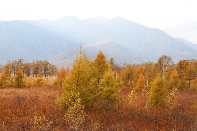
Senjogahara
At an altitude of about 1,400 meters, Senjogahara is a marshland surrounded by mountains. The marsh was formed around 20,000 years ago after Mount Nantai erupted. The area offers stunning natural scenery throughout the year.
2.Reviews
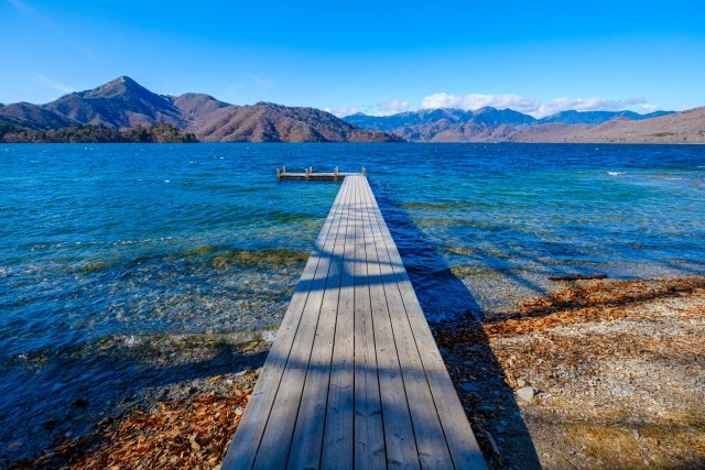
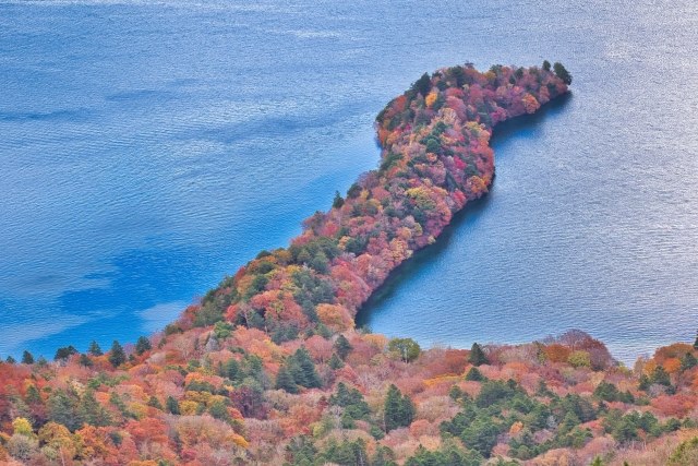
Hatchodejima
Lake Chuzenji is considered the highest lake in Japan, and its autumn foliage from mid to late October is breathtaking. Hatchodejima is a small peninsula jutting out from the lake, covered in brilliant autumn colors, appearing like a natural work of art.
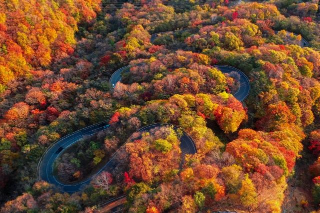
Irohazaka
Irohazaka is a winding road that connects the town of Nikko and Lake Chuzenji. In autumn, the road offers beautiful views of the changing leaves. Normally, the uphill drive takes about 20 minutes, but during the autumn season, it can take 2–3 hours due to traffic. It’s advisable to allow extra time if visiting during this period.
3.Local Food


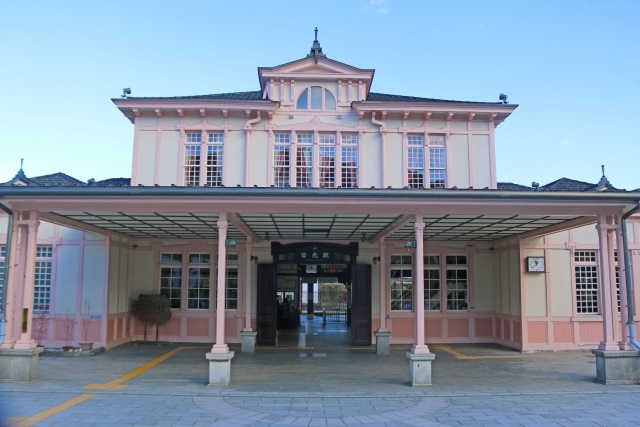
4.Transportation Information
For more information, you can visit the following websites:
■Nikko Tourism Official Website (Available in English, Korean, Simplified and Traditional Chinese)
http://www.nikko-kankou.org/access/
■Tobu Railway Official Website (Available in English, Korean, Simplified and Traditional Chinese, Thai)
https://www.tobu.co.jp/odekake/area/nikko-kinugawa/
5.Map Information
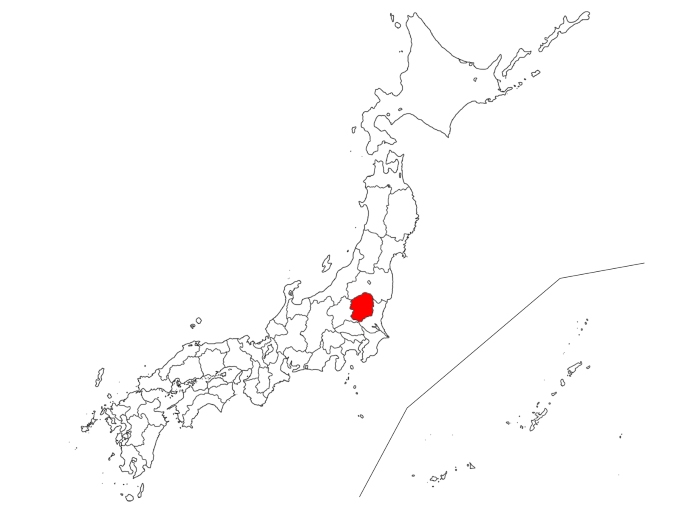
Nikko is located in the northwest part of Tochigi Prefecture. The city is situated at elevations ranging around 600 meters, and the terrain changes as you ascend the mountains. The area receives abundant rainfall in the summer and is dry in the winter. Especially in higher elevations, temperatures can drop to below -10°C, similar to those in Hokkaido.