Contents
1.Basic Information
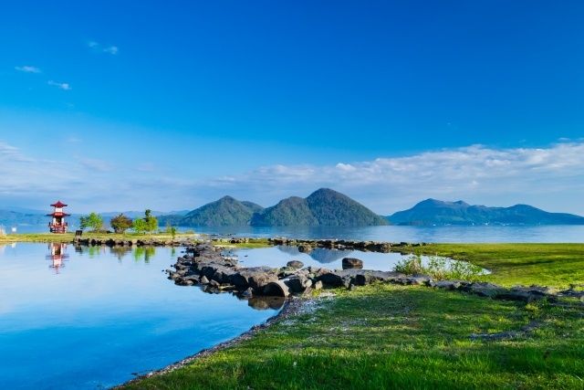
Lake Tōya (Touyako)
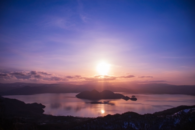
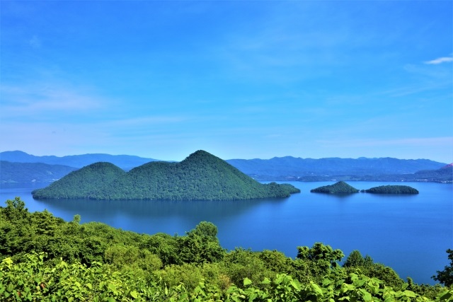
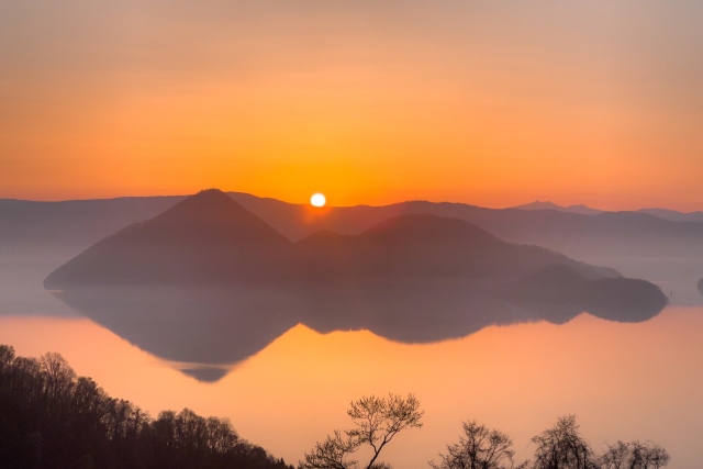
Lake Tōya is a caldera lake formed by a massive eruption about 110,000 years ago, and it ranks as the sixth deepest lake in Japan, with transparency ranked fifth nationwide. The lake covers an area of about 7,000 hectares and is a beautiful lake at the heart of the national park in this region.
Mount Usu (Usuzan)
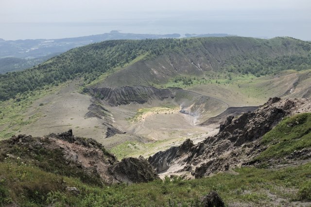
Mount Usu was formed around 20,000 years ago and took its current form after a mountain collapse 7-8 thousand years ago. Four eruptions were observed in the 20th century. You can see the crater formed by the 1977 eruption by taking the Mount Usu Ropeway and walking along the promenade. This active volcano offers an opportunity to feel the power of nature up close.
Mount Showa Shinzan (Syouwashinzan)
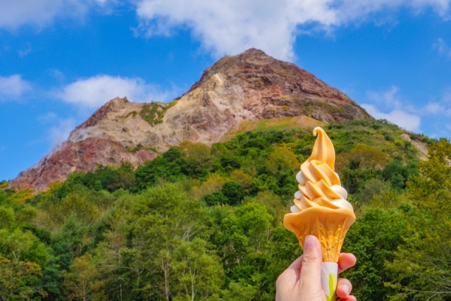
Mount Showa Shinzan was formed in 1943 when a volcanic explosion occurred in a wheat field, creating a 398-meter volcano in just four months. Even now, it emits smoke, allowing visitors to experience the energy of the Earth up close.
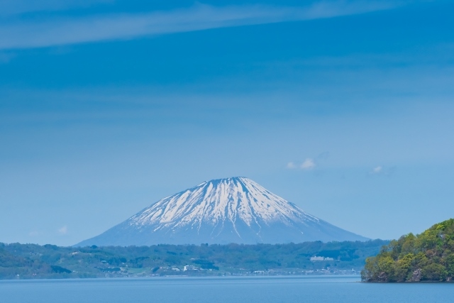
Mount Yotei (Yoteisan)
Mount Yotei, standing at 1,898 meters, is a representative mountain of Hokkaido. Known as a beautiful volcano similar to Mount Fuji, its summit features a crater that stretches around 2 km, and it’s also known as Ezofuji. Over 100 types of alpine plants bloom here, with over 130 species of wild birds inhabiting the area.
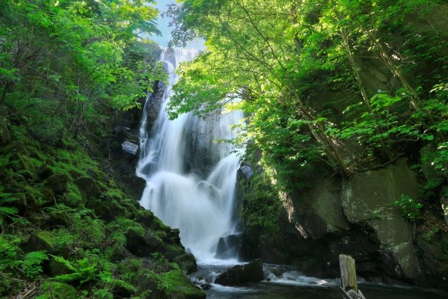
Sōbetu Falls (Soubetutaki)
This waterfall is Lake Tōya’s only outflow, and the sight of it falling from a height of 18 meters is a powerful tourist attraction. Its name comes from the Ainu language meaning ‘waterfall river’. A path to the waterfall is furnished with tables and chairs, and different beautiful scenery can be enjoyed according to the season.
2.Reviews
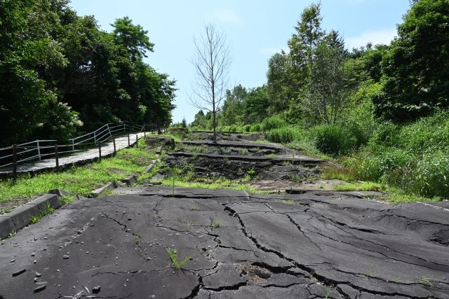
The 1977 Volcanic Relic Park preserves the town destroyed by volcanic activity on Mount Usu. It serves as a place to experience the severity of nature, with the intention of passing on the legacy of the volcanic damage to future generations.
Ukimido Park (Ukimidoukouen) is a popular spot with a landscape that seems to float on the lake. Particularly, the cherry blossoms are at their best from late April to May. The paths within the park are paved with stone, and caution is needed when walking.
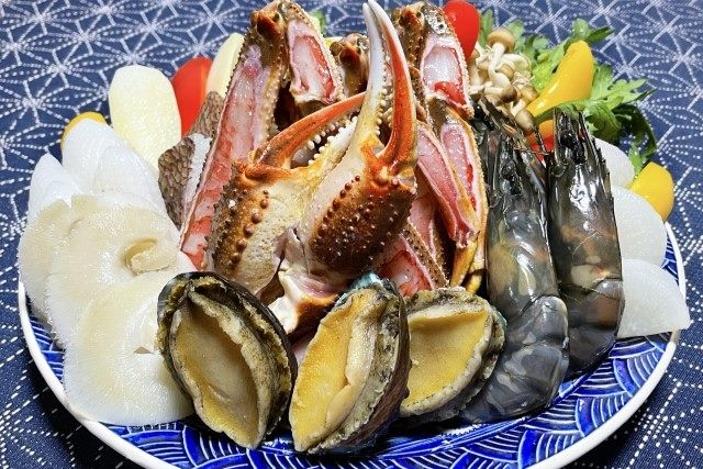
3.Local Food


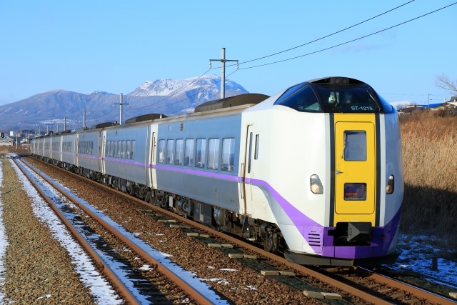
4.Transportation Information
■How to Get to Lake Tōya
Lake Tōya Town Official Website (English, Korean, Simplified Chinese, Traditional Chinese)
http://www.town.toyako.hokkaido.jp/tourism/access/
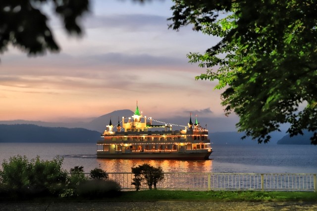
■Lake Tōya Cruise Ship
Lake Tōya Steamship (English, Korean, Traditional Chinese)
https://www.toyakokisen.com/
5.Map Information
This region, located in the southwestern part of Hokkaido, is known as a tourist destination. Over 2.5 million tourists visit sites like Lake Tōya and Mount Usu each year. The G8 Summit was held in Lake Tōya, Hokkaido in 2008, attracting international attention. The climate is the warmest in Hokkaido, with little precipitation in winter and rarely extremely cold temperatures. Summers are warm, but the seasonal winds often provide a cooler, more comfortable environment.